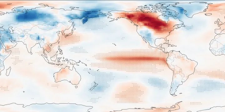
Extreme Weather Data and Visualization Hub
What is this site?
Interactive maps and explorers for extreme weather. Site development is ongoing, new updates expected regularly. Email me if there is a feature you would like to see added!
Dashboards
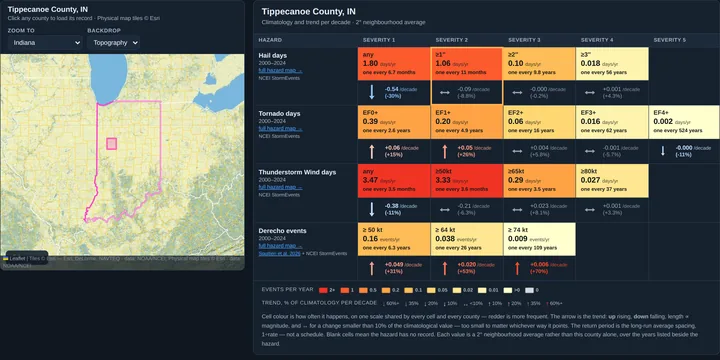
Tropical Cyclones
Historical Event Viewer
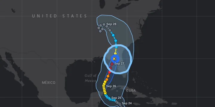
Historical Trends
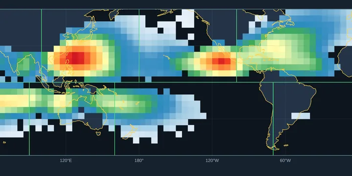
Severe Weather wind, hail, tornado, derecho, freezing rain
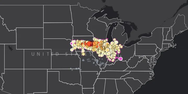
Historical Event Viewer
Historical Trends
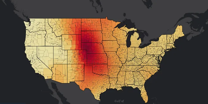
Climatology & Trends — county level
Paired climatology and trend maps at U.S. county resolution, with annual and month-by-month series. Hail, tornado, thunderstorm wind and derecho, plus freezing rain and peak wind at Indiana stations.
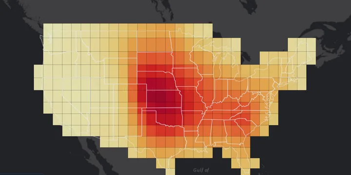
Climatology & Trends — 2° grid
Paired climatology and trend maps of hail, tornado, thunderstorm wind and derecho, binned into a regular 2° grid.